

Territorial Resilience
Territorial Resilience | November 10, 2026
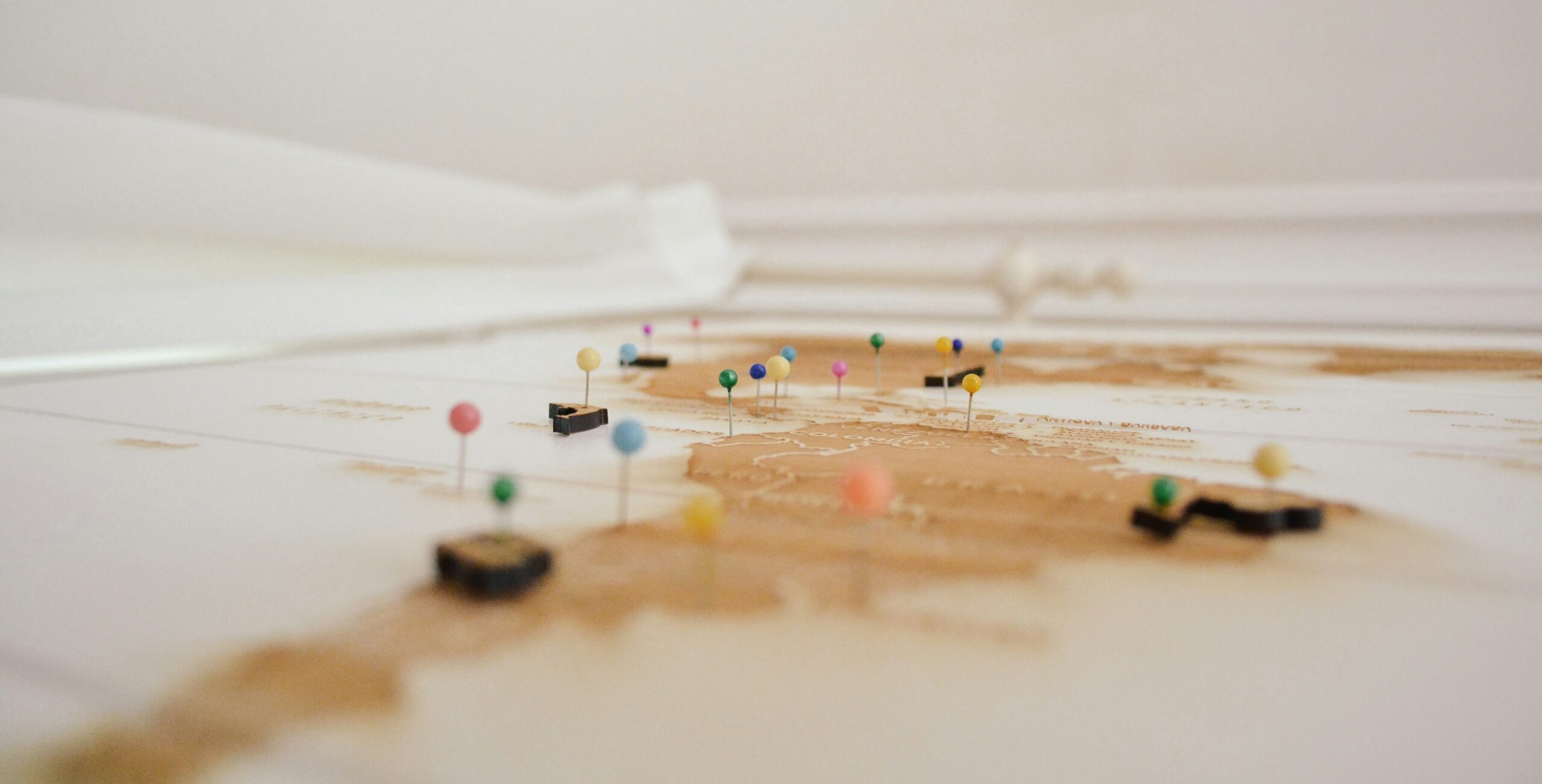
Contested territories, fragile oceans, conflict-affected regions, strategic straits, innovation hubs, and even digital spaces: every territory tells a unique story. By representing them, cartography makes visible the resources, borders, networks, and dynamics that shape our societies. In this episode of Utopias by SWEN, Anne Lacambre, Editorial Director for Atlases at Éditions Autrement, talks to Franck Tétart, lecturer, geopolitical expert, and author of Le Grand Atlas 2027, to explore what maps reveal about our world. From Greenland to the deep seabed, from Ukraine to Silicon Valley, he sheds light on territories that are at once coveted, vulnerable, innovative, and sometimes even imagined.
A geographical and geopolitical journey that invites us to shift perspectives, look beyond borders, and perhaps begin mapping the territories of tomorrow.
To find out more, discover the Grand Atlas 2027: https://www.autrement.com/grand-atlas-2027/9782080510921
Territorial Resilience
Territorial Resilience

Territorial Resilience